Sipsey River Fishing Spot
- Elevation: 111'
- Last Modified By: vinny60 on 09/14/09 08:27 PM
- Ask about Sipsey River in our Fishing Forums
Photos
Fish Species
Sipsey River Description
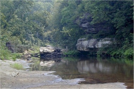
The Sipsey River, or “Sipsey River Swamp” as it is sometimes known, is one of the most fascinating and unique rivers in the State. Its watershed is long and narrow and begins when several headwater tributaries converge near the Marion and Fayette county lines. The Sipsey River is one of the last wild, free flowing swamp streams in Alabama. Wandering through Fayette, Tuscaloosa, Pickens and Greene counties, this 92-mile long river is estimated to contain approximately 50,000 acres of bottomland wetlands and swamps, which ranks it as one of the State’s largest wetland regions. The vegetation and trees are diverse and varied, ranging from bald cypress swamps to tupelo gum trees, swamp cottonwood, southern red oak, American elm, sweetgum, yellow popular and American beech. Besides the mussels, the Sipsey River provides refuge and habitat for about 102 species of freshwater fishes which include darters, gars, shad, shiners, and suckers. Several rare fish of the Sipsey River may eventually qualify for special conservation status, the southern walleye and American eel. Popular sportfish species include largemouth bass, spotted bass, catfish, crappie, pickerel, and various sunfish (bream). The Sipsey River offers quality recreational opportunities to those who find pleasure in canoeing secluded backwater areas or bank fishing off the main river channel. Boat access to the Sipsey River is limited due to its rural nature and lack of paved access. However, two public access areas are available for boaters to use: the Cotton Bridge Landing off Pickens County Highway 2; and the Vienna Landing located on Gainesville Reservoir which is approximately 1.5 miles from the mouth of the Sipsey River.
The Sipsey River is a swampy low-lying river in west central Alabama. The Sipsey is surrounded by some exceptional wetland habitat. It originates near Glen Allen, and discharges into the Tombigbee River near Vienna.[1]
